
Gadsden ZIP Directory Areas
Four Gadsden-area postal codes have firm support from official Postal Service facility identities and local geographic records. They form the useful core of a Gadsden postal-area directory. The rows below describe postal identity, not a legal boundary survey. An exact street address still needs to be checked with the USPS address lookup, because one delivery area may cross a city line or use the name of a nearby post office.
| Postal Code | Areas Covered | Post Office | Notes |
|---|---|---|---|
| 35901 | Central and downtown Gadsden | Gadsden, 700 Chestnut Street | Verify each address with USPS |
| 35903 | East Gadsden | East Gadsden, 1021 Piedmont Cutoff | The facility name supports the area identity |
| 35904 | Alabama City and western Gadsden | Alabama City, 211 North 26th Street | An older community name remains in postal use |
| 35905 | Glencoe-side delivery area | Glencoe, 107 Main Street East | Postal geography does not prove Gadsden jurisdiction |
Official address-level evidence did not confirm several numbers often placed in broad web lists for Gadsden. Nor did the source set verify a citywide ZIP boundary map, a local ZIP split history, or a box-only designation. They are not added by guess. This tighter coverage is more useful than a long list with vague edges: it tells the reader what the source proves, where uncertainty starts, and why 35905 needs a city-limit check before a request goes to Gadsden.
Verify a Gadsden ZIP Address
A postal-area lookup works best when the first input is a complete street address. Enter that address in the official USPS form, including apartment or unit information when known. Save the standardized street spelling, city label, five-digit code, and ZIP+4 result. The postal output confirms delivery formatting. It does not say whether the parcel lies inside Gadsden, which council district contains it, or which tax parcel matches it.
The captured USPS screen shows the national lookup entry point used for this first check.
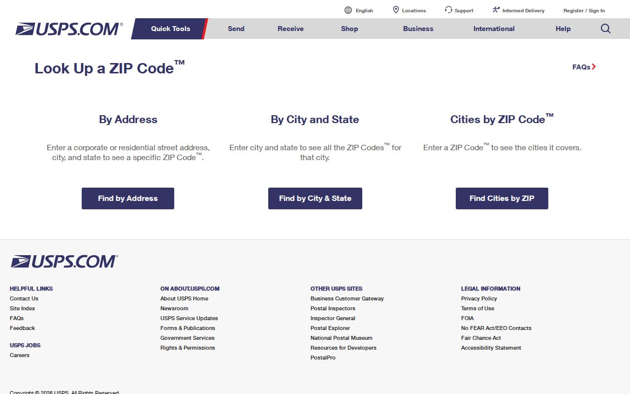
Carry the result into the county and city map systems instead of treating the postal label as the last word. If USPS rejects the address, test a documented former street name or city-county number variant before assuming the record is gone.
- Five-digit ZIP
- A Postal Service delivery area identifier, not a municipal border.
- ZIP+4
- A more precise delivery segment appended to the five-digit code.
- PO-box ZIP
- A code reserved mainly or wholly for post-office boxes. No such Gadsden code was verified in the research.
- Unique ZIP
- A code assigned to one high-volume organization. No local example was verified.
- Carrier route
- A delivery path within a ZIP, which is not the same as a neighborhood.
Central Gadsden ZIP 35901
The 35901 ZIP anchors downtown and central Gadsden through the Gadsden post office on Chestnut Street. That makes it a strong first filter for a central-city address, but the postal directory does not turn 35901 into a list of people. The next evidence comes from parcels and official name indexes. Search the standardized address in Etowah County AssuranceWeb, keep the exact situs and owner spelling, and then check the Gadsden planning map for city limits and local layers.
For a person tied to downtown property, the tax roll may show a titled owner and a different mailing address. Both are clues, not interchangeable facts. A deed at the Etowah Probate Office can confirm the grantee and legal description. A business filing or city license may identify a responsible party at a commercial address, while no source establishes that every person named there lives on site. That evidence discipline is essential in a ZIP-wide search.
East Gadsden ZIP 35903
The East Gadsden facility name gives 35903 a clear local identity. Postal naming can help narrow a vague address, especially when a source says only “East Gadsden.” It still must be paired with a parcel. The Gadsden GIS service catalog exposes layers for city limits, annexations, tax parcels, historic districts, condemned properties, zoning, floodplain, council districts, building footprints, and nuisance matters.
The city service catalog captured for the Gadsden postal directory shows the technical map source behind those checks.
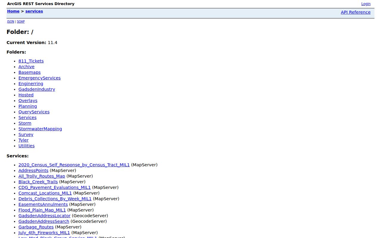
Map layers describe place and jurisdiction. They do not create a household roster. For an East Gadsden search, use the city layer to decide whether a city department may hold permit or code material, and use the county roll for the parcel and its assessed owner. That split keeps geography from being mistaken for identity.
Gadsden ZIP 35904 Keeps Alabama City
Alabama City is more than a casual neighborhood label. The name survives in the 35904 postal facility, in western Gadsden vocabulary, and in the location of the Gadsden Public Library Genealogy Branch. It also reflects an older municipal identity absorbed into Gadsden. This makes 35904 an important geography clue for directory and family research, even though a postal area still lacks the force of a city boundary.
Older sources may file the same place under Alabama City, Gadsden, or Etowah County. Search each form when a family disappears between records. The library's directories begin around 1900, its newspaper microfilm begins in 1867, and the 1951 Chamber map can help bridge an old address to a modern parcel. ZIPs arrived later than much of that evidence, so a modern 35904 filter should never replace the place names used in the source year.
Note: Alabama City is a durable search term, but its familiar name is not a substitute for a parcel-level jurisdiction check.
Find Gadsden Records by ZIP
No captured Gadsden property or voter form offers a verified public ZIP-wide resident list. Etowah AssuranceWeb instead supports Name, PIN, Company, Parcel, Account, Subdivision, and Address modes. Alabama VoterView verifies one known person from identity-matched fields and offers a separate residential-address mode for polling locations. The honest Gadsden ZIP code directory method therefore narrows geography first, then searches the proper official record one address or person at a time.
- Verify the full address and its current ZIP in the USPS lookup. Preserve the exact standardized form.
- Search that address in Etowah AssuranceWeb. Record the tax year, owner spelling, PIN, parcel, account, subdivision, situs, and mailing-address distinction.
- Plot the parcel in the county viewer, then compare city limits and annexations in the Gadsden browser.
- Use VoterView only to verify a known registrant with the required name and birth date. It cannot browse a ZIP or street.
- When lawful ZIP-level voter data is needed, ask the Board of Registrars about the current statewide-file rules under Ala. Code §17-4-38.
After the postal area has narrowed the search, the Gadsden by-street directory carries the address through parcels, deeds, permits, and historical directories. That keeps ZIP geography in its proper role: a filter that directs a search, not proof that a person occupies a particular home.
Gadsden ZIP 35905 Tests Limits
The 35905 delivery area is tied to the Glencoe post office, yet addresses in that postal territory may still be described in broader Gadsden searches. This is the clearest warning against equating a city name with jurisdiction. Parcels near Glencoe, Rainbow City, Attalla, Reece City, and annexed corridors need both the Etowah County map and Gadsden's city-limit or annexation layer.
The Etowah County map service includes road, parcel, subdivision, building, city-limit, tax-district, hydrography, and county-boundary layers.
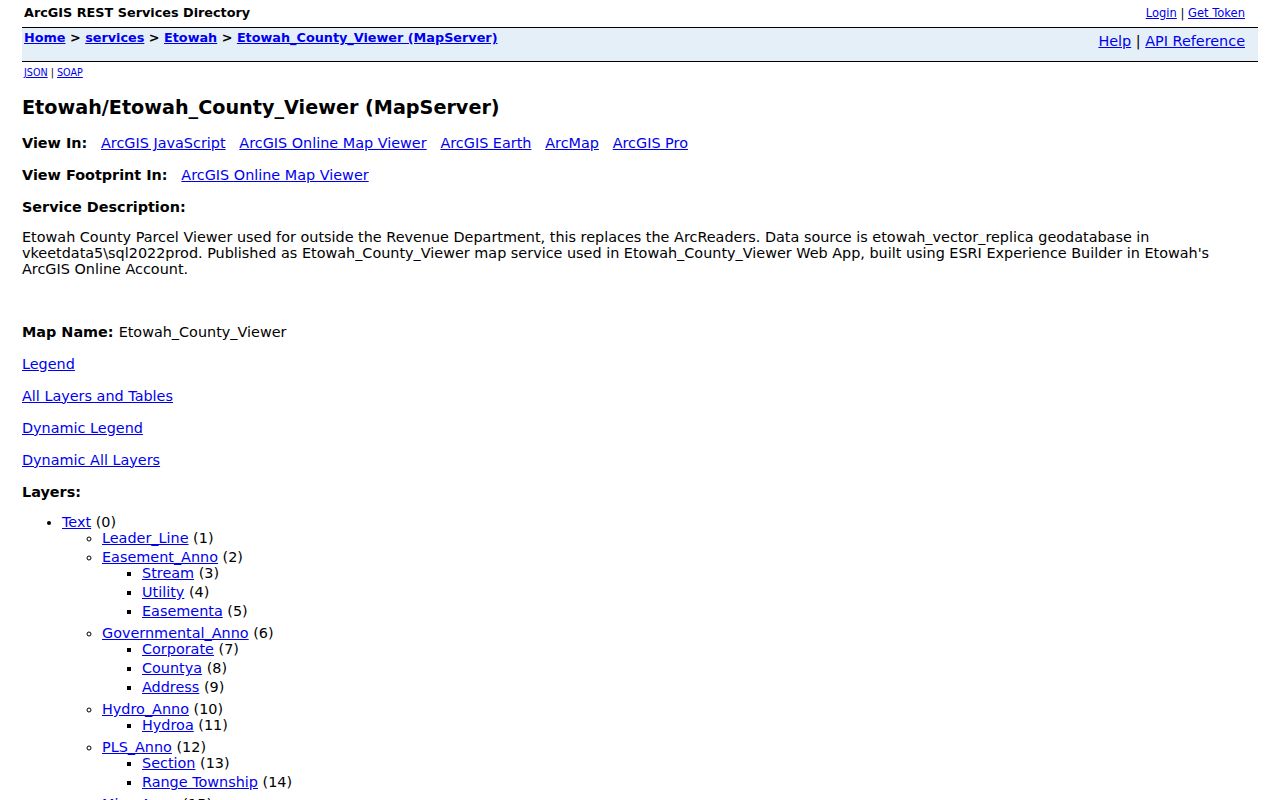
The service is marked for tax purposes only. Use it to orient the parcel, then confirm legal ownership through the Probate record and city service responsibility through the relevant city record. A Glencoe postal identity may send a tax question to Etowah County and may show that a Gadsden department is not the right custodian.
County Names Behind Gadsden ZIPs
Etowah County began as Baine County in 1866 and took its present name in 1868. Gadsden is the county seat. That history matters when a ZIP-based search reaches records created long before ZIPs existed. An early deed, newspaper item, or archive catalog entry may use Baine County, predecessor geography, Alabama City, or a former courthouse reference rather than a current postal label.
The Alabama Archives county facts resource provides the formation and county-seat context used to interpret those older records.
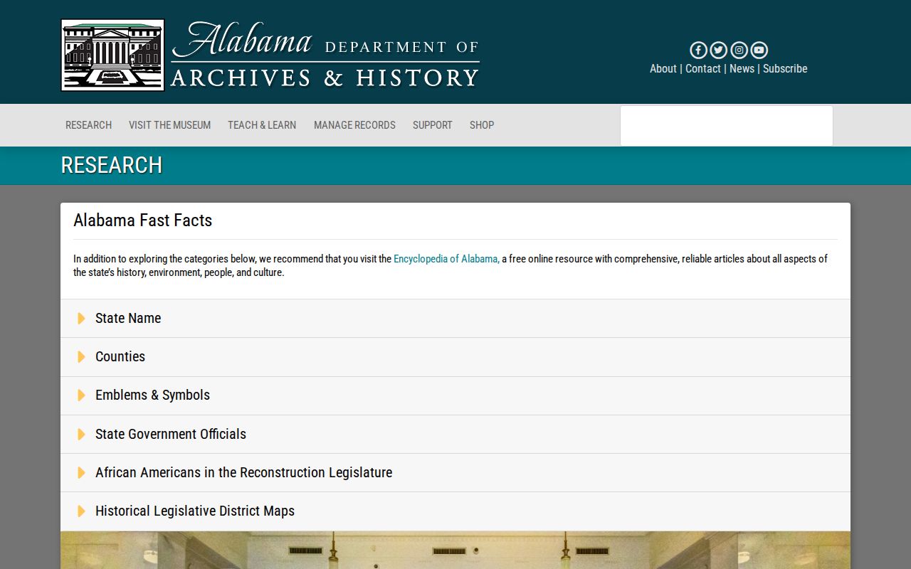
Archive searches should preserve both county names for the transition years. The modern Gadsden ZIP code directory then becomes a bridge: start with today's postal form, map it to the present parcel, and work backward under the names that appeared when each record was made.
Gadsden ZIPs Meet City Limits
A Gadsden postal label does not establish that a parcel sits within Gadsden. ZIP territories serve mail delivery, while municipal limits control city services and many city records. A 2024 annexation and zoning action involving 341 East Riverview Drive shows how jurisdiction can change while a familiar mailing address persists. Gadsden's 2025 zoning overhaul also recognized historic centers that had been annexed into the city, another reason old community names remain useful.
Boundary validation follows three official tracks. USPS supplies the standardized delivery form. The county viewer ties it to a parcel and shows broad boundary context. The city property browser supplies annexation, zoning, council-district, and city-limit layers. If those sources conflict, consult the ordinance archive or Planning and Zoning rather than choosing the most convenient label.
Key distinction. Postal city, parcel situs, owner mailing address, and deed description can all differ while referring to the same property.
Search history adds one more wrinkle. South 26th Street became Minth Boulevard in 2026. A record made before the change may remain indexed under the former name, and current map or postal data may use the new one. City resolutions also document house-number disagreements at Alabama Street and Arizona Street. Keep both names and both documented number variants in the search notes. This dual-address practice is often more effective than trying more unverified ZIP lists.