
Gadsden Previous Residents by Era
Begin with the source closest to the period being studied, then bridge gaps with a second kind of evidence. Modern parcel and deed records anchor ownership. Directories, telephone books, and census schedules add occupants. Newspapers, permits, maps, photographs, and probate files explain events around an address. The exact starting year of Etowah's online deed index is not published, so the era table distinguishes verified coverage from an unknown portal cutoff.
| Source | Years it covers | Where held | What it shows |
|---|---|---|---|
| Assessment and parcel record | Current roll; history cutoff unstated | Etowah Revenue Commissioner | Owner, situs, mailing and parcel identifiers as displayed |
| Deeds, plats and mortgages | Online cutoff not published | Etowah Probate Office and authenticated portal | Parties, instruments, legal descriptions and recording data |
| Gadsden city directories | Near-complete from 1900 | Gadsden Public Library | Publication-year resident entries; reverse sections vary by volume |
| Gadsden telephone books | June 1933 to May 1946 | Library of Congress online | Subscriber name and listed address |
| Federal census schedules | Public through 1950 | NARA and library research access | Decennial household snapshots under the 72-year rule |
| Gadsden Times | 1867 to present | GPL microfilm and NewsBank | Sales, notices, obituaries and address events |
| Maps and photographs | 1951 map; photos late 1880s to early 1960s | GPL and Alabama Archives | Street alignment, buildings and period context |
A question about a recent owner should start with the parcel and deed. A question about past residents around the middle of the twentieth century should pair a directory year with the nearest released census and the 1951 map. Earlier gaps may require courthouse books and newspaper microfilm.
Anchor Gadsden Resident History
Search the current situs address in Etowah County AssuranceWeb. Save the tax year, exact owner spelling, PIN, parcel, account, subdivision, situs, and mailing destination that appear. Then carry the parcel into the county viewer to confirm geometry, road, city-limit status, lot and block, acreage, dimensions, and any subdivision book or page annotation.
Do not merge the situs and mailing address. The situs is the physical location of the land and improvements. The mailing field tells where the tax notice goes. A different mailing address may suggest that the owner lives elsewhere, but it proves neither place of residence. Legal descriptions are stronger bridges to old deeds because early instruments may lack the present house number.
- Grantor
- The party transferring an interest in the recorded instrument.
- Grantee
- The party receiving that recorded interest.
- Chain of title
- The linked sequence of instruments that traces ownership of the same land.
- Legal description
- The lot, block, subdivision, or metes-and-bounds language that identifies land apart from its street label.
- Criss-cross directory
- A directory section organized by street and house number instead of by surname.
- Enumeration district
- A census-taker's assigned area, used to browse schedules when a name index or street search fails.
Trace Gadsden Deed Records
The Etowah deed chain begins with today's indexed owner and moves backward through the prior owners. The county Deeds and Records page routes researchers to the land-record system and describes recorded classes such as deeds, mortgages, plats, liens, property contracts, mortgage assignments, lis pendens, and condominium instruments.
- Find the current parcel and copy its owner name, legal description, and acquisition instrument reference exactly.
- Open the current acquisition deed through the Probate route. Capture grantor, grantee, execution and recording dates, instrument or book and page, and any prior reference.
- Search the current seller as a grantee in an earlier date range. Confirm that the earlier instrument describes the same lot, block, bounds, or parcel lineage.
- Repeat one transfer at a time. At a subdivision boundary, use the linked historic lot books, plat books, and subdivision plats to reconcile older language.
- When the web index or image trail stops, take the last sound name, date range, and legal description to the Probate counter at 800 Forrest Avenue.
- At a death, inspect public probate petitions, orders, deeds from heirs or a personal representative, and a dated obituary before continuing the land chain.
A shared surname is not enough to connect two deeds. The land description must also agree. Etowah County warns that online data may contain omissions or additions and is not the official record, so the portal is a discovery layer and the courthouse instrument controls.
Continue Gadsden Probate Records
The authenticated Etowah Probate portal provides remote access, but its earliest index year, image coverage, fields, and image fees were not published in the research record. A login failure or blank result does not end a Gadsden previous residents search. It shifts the work to the legal custodian and its grantor, grantee, deed, and plat books.
The authenticated Probate access point is captured below.
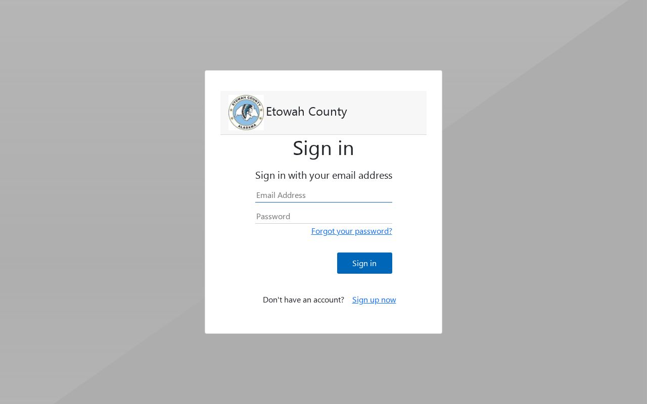
The login surface explains why a complete backward trail may require both remote discovery and an in-person book search.
Bring the last verified party names, instrument or book and page, a date range, parcel identifiers, and the full legal description. Ask which index continues earlier and whether the deed image, bound book, or microfilm is the controlling copy. This focused request is much stronger than asking staff to find everyone who ever lived at an address.
Match Gadsden Directories to Census
Deeds answer ownership. The household layer comes from Gadsden directories and released federal census schedules. The Gadsden Public Library genealogy and reference service reports a near-complete directory run beginning in 1900, but that phrase does not promise every year or a reverse section in every volume. Reference staff can confirm available years at 256-549-4699 ext. 2116; genealogy help is ext. 2117.
- Choose the two available directory years that bracket a known deed, move, death, or permit event.
- Read the title page and abbreviation key, then search surname variants, initials, remarried names, and widow entries in the alphabetical section.
- If that volume has a reverse section, search the normalized street and scan the target number and nearby entries. Record the entry exactly.
- Compare the nearest released census schedule. The 1950 census is the newest public federal schedule under the 72-year rule.
- Use the directory before and after the census year to narrow a first or last appearance without claiming an exact move date.
- For 1933 through 1946, compare the Library of Congress telephone run, remembering that subscribers were only a subset of households.
The detailed shelf and publisher questions are covered on the Gadsden city directories page. For one house, the key is the dated entry and its address, not a claim that a missing name proves absence.
Map Older Gadsden Residents
Gadsden Public Library's FIMo fire-insurance map access and the Alabama Archives' 1951 Chamber map can bridge an old directory entry to present parcel geography. Exact local Sanborn sheet years were not verified, so inspect the selected map's title, date, and coverage before citing it. Compare street alignment, lot shape, block, and nearby landmarks with the county and city GIS layers.
The 1951 map is especially useful beside a directory or the 1950 census. Scarboro photographs from the late 1880s through early 1960s can add physical context, including downtown and major industrial sites, but a photograph alone does not identify a household. Use maps and images to explain place, then let named and dated records identify people.
Date Gadsden Property Records
The Gadsden Building Department keeps permit, inspection, nuisance, and zoning material tied to an address. These records can date a physical change and may identify an applicant or contractor. They do not prove ownership or occupancy. Gadsden replaced its permit platform in May 2025, and the online archive cutoff was not published, so older work may require an office request.
Assessment timing can create another apparent break. County mapping guidance gives an example in which a deed signed on October 31, 2024 is processed for tax year 2026, while the 2025 tax year remains under the former owner. A deed and the displayed tax owner can therefore differ without either record being false. Preserve the tax year and deed recording date rather than forcing an immediate match.
Resolve Gadsden Resident Addresses
Local records support a two-part insider tactic: test number variants and old street names. City resolutions note 1412 versus 1410 Alabama Street and 1823 versus 1323 Arizona Street in city and county records. When the previous residents trail disappears, search both forms across the parcel portal, deeds, permits, maps, and directories, then note which custodian used each number.
South 26th Street became Minth Boulevard in 2026. Keep the former name as an alias in every historical search log. Annexation adds a second geography trap because a postal Gadsden label may persist while city jurisdiction changes. Compare the USPS form, county parcel, city-limit and annexation layers, legal description, and the 1951 map before deciding that an older and newer address refer to different land.
Note: A renamed street or mismatched number is a search problem, not proof that the older household record is wrong.
Extend Gadsden Records Offline
The Alabama Archives county-record catalog searches by county and a singular record type such as deed. Most original records remain with the office that created them. Use the catalog to discover microfilm, then confirm whether the Archives or Etowah Probate supplies the needed copy. Search Baine as well as Etowah for 1866 through 1868, since the county was first established under the Baine name and renamed Etowah.
The official Alabama county-record catalog is shown below.
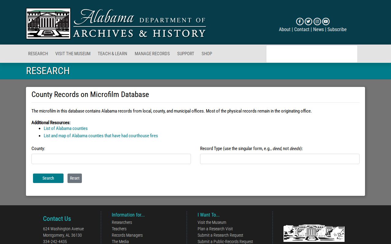
The county and record-type fields provide an offline bridge when the Etowah web index does not expose an older instrument.
No Etowah courthouse destruction appears in the official state fire inventory for 1823 through 1965. The verified barriers are the Baine-to-Etowah name change, the courthouse move from the older downtown site in 1948, boundary and custodian shifts, changed addresses, and uneven digitization. Those are the issues a search log should test.
Close Gadsden Resident Trails
Obituaries and probate records can close a gap when a former owner dies or a household leaves the directory. Gadsden Times microfilm begins in 1867, while library access includes NewsBank and the broader HeritageHub obituary and death-notice database. Search the person's name, spouse or relatives, address, and the date range set by the last directory or deed appearance.
The African American Funeral Program Collection can add family, church, and burial links missed by a general obituary search. Public probate petitions, orders, and deeds from heirs or a personal representative can show how land passed after death. Do not assume the public portion lists every private family fact. A strong endpoint cites the dated notice or instrument and explains whether it proves death, kinship, estate involvement, ownership transfer, or only an association.
Gadsden Residents, Census, Obituaries
Previous residents are best presented as a timeline with evidence types kept distinct. A deed proves a transfer involving named parties. A directory supports a publication-year listing. A census supplies a decennial household snapshot. A telephone book identifies a subscriber. A permit dates work and names a role. A newspaper reports an event that still needs comparison with the official record.
For each entry, record the source title, year or date, exact address form, name as printed, stated role, and a full citation or book and page. Use brackets for uncertain readings and keep conflicts visible. The first appearance in a directory is not an exact move-in date, and the last appearance is not an exact departure date. Pairing two independent sources creates a much firmer answer to who lived here before.
Limits on Gadsden Resident History
A Gadsden previous residents search cannot promise every person who shared a home. Directory canvasses had gaps, telephone books covered subscribers, early deeds may use only legal descriptions, and the tax roll names owners rather than all occupants. Vital, adoption, juvenile, sealed, victim, and some court information is restricted. A missing online record may simply sit in a courthouse book or library volume.
House history is safest when it focuses on the property and documented events, limits sensitive detail about living people, and cites the custodian behind each claim. Errors should be corrected at the source office when possible; a public deed is not erased merely because another service copied it.
Lawful use. Research past Gadsden residents for house history, genealogy, or other lawful personal reasons. Never use the trail to stalk, harass, track, or harm a living person.