
Gadsden Neighbors Block Sources
A block search begins with geography, then adds records one layer at a time. No official Gadsden tool produces a complete neighbor report. The city and county maps show parcels, roads, boundaries, and civic layers. The tax roll names titled owners and may show a different mailing address. VoterView checks one known voter rather than listing a street. Directories give dated occupant clues, while permits name applicants or contractors tied to work at a site.
| Source | What It Shows About a Block | Access |
|---|---|---|
| Etowah County GIS | Adjacent parcels, roads, lots, acreage, city limits, and districts | Free parcel viewer or Mapping office |
| Etowah tax roll | Titled owner plus situs and mailing fields as displayed | AssuranceWeb or Revenue office |
| Gadsden Property Browser | City limits, annexation, zoning, historic districts, and planning context | Free browser or city GIS staff |
| Voter source | One person's registration and polling geography | Identity-matched VoterView or registrars |
| Historical directories | Publication-year occupant and address clues | Gadsden Public Library |
| Permits and code files | Site, applicant or contractor, and activity date | Building Department platform or office |
Label every result by what it proves. “Owner” means the person or entity on the property record. “Mailing addressee” describes where the tax notice goes. “Directory-listed occupant” reflects one publication year. “Permit applicant” identifies a role in a project. None of these terms can be silently changed to resident.
Map Gadsden Neighbors by Parcel
The Etowah County viewer supports a careful parcel-by-parcel walk. Start from a normalized street address, find the target polygon, and inspect the adjoining polygons in a fixed order. County layers can show lot and parcel lines, roads, subdivision codes, book and page references, acreage, dimensions, buildings, city limits, voting districts, and other tax-map context. The map is marked for tax purposes only, so its geometry helps locate the official record but does not replace a deed or survey.
- Normalize the known address through USPS, then save the exact street form and ZIP returned.
- Open the county viewer, locate the parcel, and record its parcel, PIN, account, subdivision, lot, or block identifiers.
- Choose a consistent boundary, such as the visible block face, rather than changing the search radius from lot to lot.
- Click each adjoining polygon in order. Record geometry and identifiers before adding any person's name.
- Check each parcel in the Etowah property portal. Keep owner, situs, and mailing fields in separate columns.
- Use the Gadsden browser to confirm city limits, annexation, zoning, districts, and other civic context.
Official city documentation lists measure, markup, swipe, and print tools. It does not document an automatic radius list or a one-click roster of nearby households. The REST address-point layer covers sites, parcels, and buildings, with result and selection limits, but those data still describe mapped features rather than a household list.
Note: Map the same block boundary for every parcel so the resulting Gadsden comparison has a clear, repeatable scope.
Gadsden Owners Are Not Occupants
The most important local myth is simple: a parcel owner is not automatically the person living on that land. The tax record can show a situs address, meaning the location of the property, and a mailing address, meaning where the tax notice is sent. Different addresses may point to an owner who lives elsewhere. Even matching fields do not identify every member of a household.
Etowah's property interface searches by Name, PIN, Company, Parcel, Account, Subdivision, or Address. Its owner-name mode supports “Starts With” and “Contains” surname matching. Save the displayed tax year and identifiers because the county mapping guide documents assessment lag. A recently recorded deed and the owner shown for a tax year can legitimately differ while the later assessment catches up.
- Situs address
- The location of the land or improvement shown on the parcel record.
- Mailing address
- The destination for a tax notice, which may be outside Gadsden or different from the parcel.
- Parcel
- A mapped unit of land tracked by a county identifier for assessment and tax purposes.
- Adjacent owner
- The titled person or entity associated with a bordering parcel, not a proven occupant.
If ownership itself is disputed, carry the parcel and legal description to the Etowah County Probate Office. The authenticated portal is a discovery route, while the courthouse instrument remains the authority. Older deeds or images outside the web system require the counter and record books.
Confirm Gadsden Block Addresses
A postal Gadsden label does not establish that a parcel is inside Gadsden city limits. Delivery territory and municipal jurisdiction answer different questions. Check the parcel against both county geography and the city's limit or annexation layers, especially near Attalla, Glencoe, Rainbow City, Reece City, and annexed corridors.
Address numbers can also conflict. City resolutions document 1412 versus 1410 Alabama Street and 1823 versus 1323 Arizona Street in city and county records. If a parcel disappears, search both number forms. Historical work has another trap: South 26th Street became Minth Boulevard in 2026. Keep both street names in the notes when records cross that change.
A reliable block sheet keeps three address forms apart: the USPS-standardized delivery address, the parcel situs address, and the deed or plat's legal description. Each may lead to a different index. The Gadsden directory by street extends this method along the full named road when the inquiry grows beyond the immediate block.
Voter Rules for Gadsden Neighbors
Alabama VoterView verifies one known individual. Its registration mode requires first name, last name, date of birth, and reCAPTCHA. A second mode accepts a residential location to find polling places. Neither mode returns all voters on a Gadsden block. A registration result can establish status and precinct or district geography, but it never reveals a ballot choice.
The statewide voter file is a separate product governed by Ala. Code §17-4-38. Changes effective June 1, 2026 narrowed personal information and added publication, sale, and use limits. The older request form and the current interface must be reconciled before quoting a price or released field list. Protected identifiers must not be copied into a block profile.
The Etowah Board of Registrars at 800 Forrest Avenue, Suite 206, can explain current verification and inspection terms. Ask a focused question. Do not treat the office as a service for compiling private household profiles.
Gadsden Neighbor Contacts, Not Rosters
Gadsden encourages residents to form Neighborhood Watch associations and offers police help, but the city does not publish a verified list of active groups, boundaries, officers, or members. No authoritative public HOA or association directory was found. Council districts are public civic geography. They do not serve as private neighborhood membership rolls.
| Community Channel | Public Contact or Source | What It Does Not Publish |
|---|---|---|
| Gadsden Neighborhood Watch | Police assistance, 256-549-4794 | No official member, officer, or boundary roster located |
| Gadsden GIS | City GIS staff, 256-549-4795 | No private association membership list |
| Etowah Mapping | County mapping staff, 256-549-8143 | No household or civic-group roster |
| Gadsden Public Library | Reference desk, 256-549-4699 ext. 2116 | No verified current HOA directory |
The city's Neighborhood Watch information is the official formation channel. It supports civic contact, not an invitation to collect or republish names. A group may choose its own private communications, and absence from a city page says nothing about whether informal activity exists.
Historical sources can describe a place without exposing a present roster. Gadsden Public Library directories, maps, newspapers, and oral histories may explain older neighborhood names or boundaries. Cite the year and source because these labels are not uniform legal districts.
Official Gadsden Records Versus Compilations
Official sources are narrower than commercial neighbor tools, but their limits are visible. A county parcel record identifies a titled owner for a tax year. A deed identifies parties and a legal parcel. VoterView verifies a known person. A city map shows jurisdiction and planning layers. Commercial compilations may merge public records, broker data, and public social material without making every source date or correction clear.
| Question | Official Record Route | Commercial Compilation Risk |
|---|---|---|
| Who owns the next parcel? | Etowah tax roll, then Probate deed | Old owner or unclear source date |
| Is the parcel in Gadsden? | County and city-limit or annexation layers | Postal city mistaken for legal jurisdiction |
| Does a known person vote locally? | VoterView or Board of Registrars | Private data blended with stale records |
| Can a display be corrected? | Contact the custodian holding the identified record | Removal may not fix the source record |
The FTC notes that a commercial opt-out may need repeating and does not erase deeds, court files, or other source records. When an official index appears wrong, save the record identifier and displayed value, then contact that custodian. Tax ownership issues go to Revenue or Appraisal with the recorded deed. Deed-index errors go to Probate.
Gadsden Block Safety Sources
Public-safety systems cover different populations and must be read on their own terms. The Etowah County jail roster can be browsed by current or released status and searched by name. A profile may show a booking number, booking date and time, charges, bond, age, and other booking information. It is custody data, not a conviction finding, and a name match still requires care.
The Etowah County current and released roster is the manifest source for the county channel.
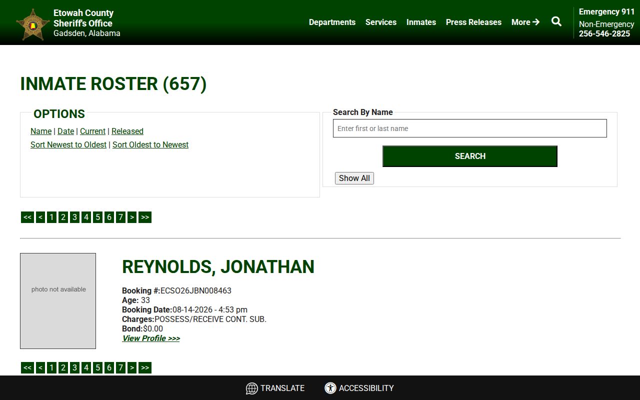
The roster can answer a specific custody question. It should not be turned into a claim about every person near an address. State prisoners are searched through ADOC, while federal custody uses the federal locator. A no-match in one system is not a statewide negative.
Alabama Victim Notification is an account-based service for eligible cases involving people convicted in Alabama and sentenced to ADOC custody. It does not cover a pretrial county-jail case.
The Alabama Victim Notification portal supports notification choices for its defined users.
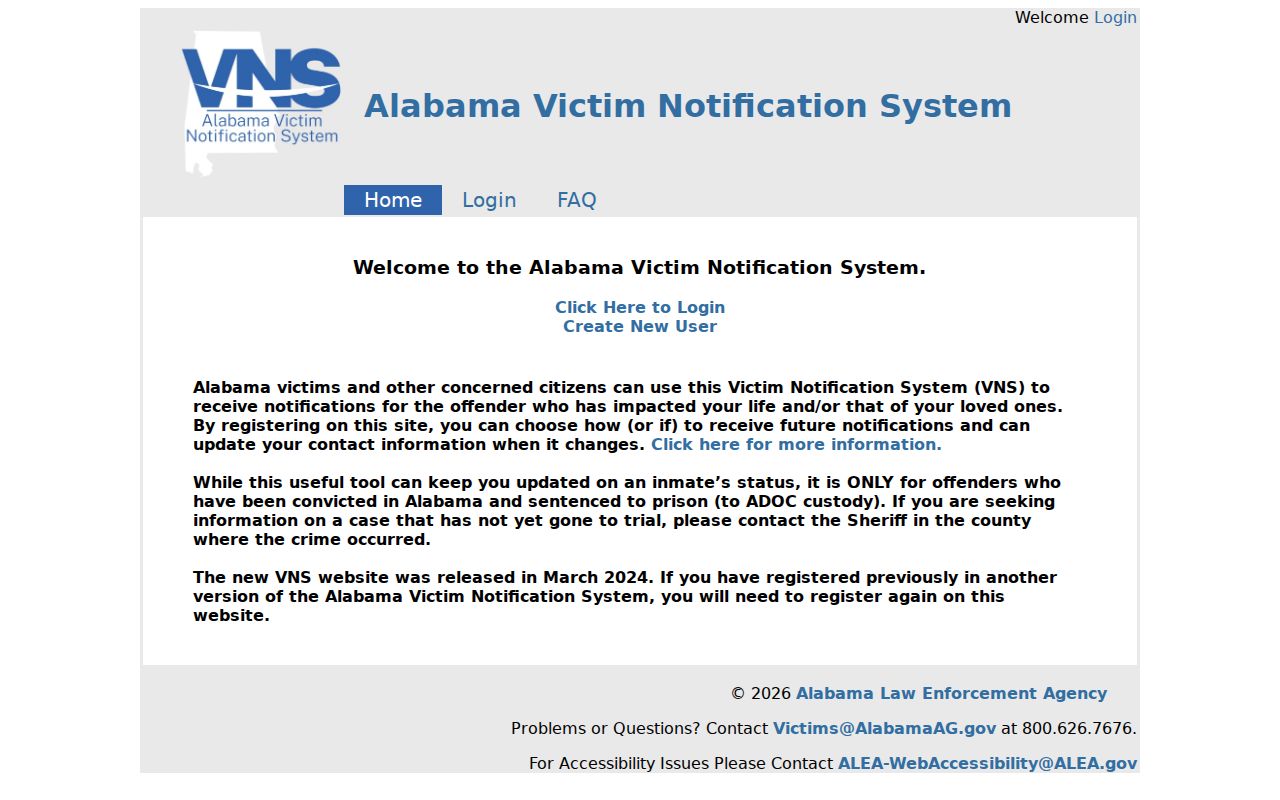
The service offers account-managed contact methods and has a help channel at 800-626-7676. Its purpose is notification and safety, not public neighborhood profiling.
Privacy Limits for Gadsden Neighbors
Open parcel and civic records do not cancel record-specific privacy law. Alabama court rules redact complete Social Security numbers, taxpayer identifiers, and financial accounts. Vital, juvenile, adoption, investigative, and victim information has separate restrictions. Federal law restricts motor-vehicle personal information. Alabama has no verified general address-substitution program, but statutes protect certain shelter locations, crime-victim commission names and addresses, and court-notification contact data.
Even accurate public information can be misused. Do not publish a block dossier, infer private household members, bypass access controls, impersonate anyone, or continue contact after a clear request to stop. If safety drives a removal request, first determine whether the source is an official record or a commercial republication. A custodian can correct an error or apply a legal restriction, but does not erase an accurate public deed merely because another service copied it.
Lawful use. Looking up Gadsden neighbors is for careful personal and civic research. Never use these records to stalk, harass, threaten, intimidate, or harm anyone.
The best final block sheet is modest. It states the source, date, record category, and limit for each row. Unknown stays unknown.